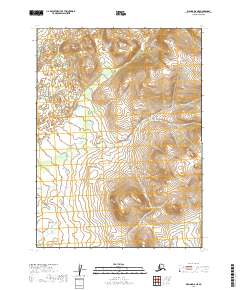
2019 Map of Iliamna D-8 NE
USGS Topo · Published 2019About this map
Vast wetland complexes and low-lying drainages characterize this interior Alaskan landscape within the T2s R37w and T2s R38w townships. Surveyed in the early 21st century, the map illustrates the intricate hydrological patterns of an area where development is largely absent, focusing instead on the natural topography across the T3s R37w and T3s R38w boundaries. The dominance of wetlands throughout the southern half of the quadrangle suggests an environment dictated by seasonal water cycles, providing a detailed record of the terrain as it existed before contemporary climate shifts or potential future infrastructure changed the character of the Lake and Peninsula Borough.
Find a feature on this map
4 named features on this map. Tap any name to fly to it.
Don’t see what you’re looking for? This feature index may not catch every label — zoom into the map to look around manually.
Map Details
Editions of this 2019 Iliamna D-8 NE Map
This is the sole edition of this map. No revisions or reprints were ever made.
Other maps of this area

1946 · Lake Clark
USGS Topo · 1:250,000

1951 · Lake Clark
USGS Topo · 1:250,000

1952 · Iliamna
USGS Topo · 1:250,000

1954 · Lake Clark A-7
USGS Topo · 1:63,360

1954 · Lake Clark A-8
USGS Topo · 1:63,360

1954 · Iliamna D-8
USGS Topo · 1:63,360

1954 · Iliamna D-7
USGS Topo · 1:63,360

1957 · Iliamna
USGS Topo · 1:250,000

1958 · Lake Clark
USGS Topo · 1:250,000
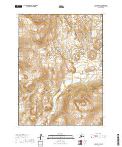
2019 · Iliamna D-7 NW
USGS Topo · 1:25,000