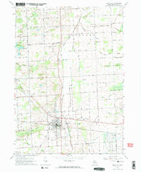
1963 Map of Imlay City
USGS Topo · Published 1964About this map
Imlay City serves as the primary hub of this Lapeer County landscape, situated at the junction of the Grand Trunk railroad and a network of rural routes like Newark Road. The surrounding townships of Goodland and Attica are characterized by an extensive system of agricultural drainage, including the Madison Drain and Stony Creek, which supported the area's development into a productive farming district. Local life in the early 1960s is evidenced by several country schools such as Walker Sch and Clarks Corner Sch, alongside the prominent Fairground and Imlay Cem. The terrain is marked by the headwaters of the North Branch Belle River and numerous gravel pits, reflecting the glacial geology that shaped the Michigan thumb region. These details reveal a community tightly integrated with its rail infrastructure and the natural drainage patterns of the Lapeer plains.
Find a feature on this map
66 named features on this map. Tap any name to fly to it.
Don’t see what you’re looking for? This feature index may not catch every label — zoom into the map to look around manually.
Map Details
Editions of this 1963 Imlay City Map
2 editions found
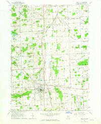
Other maps of this area

1914 · Armada
USGS Topo · 1:62,500

1928 · Armada
USGS Topo · 1:62,500

1945 · Almont
USGS Topo · 1:24,000

1945 · Allenton
USGS Topo · 1:24,000

1945 · Thornville
USGS Topo · 1:24,000

1952 · Allenton
USGS Topo · 1:24,000

1954 · Detroit
USGS Topo · 1:250,000

1954 · Flint
USGS Topo · 1:250,000

1958 · Flint
USGS Topo · 1:250,000

1961 · Brown City
USGS Topo · 1:24,000