
1958 Map of Immokalee NE
USGS Topo · Published 1972About this map
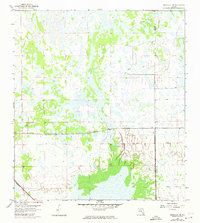
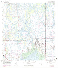
The boundary between Collier Co and Hendry Co divides this landscape, which was characterized by complex water management and the burgeoning infrastructure of the late 1950s. The Atlantic Coast Line railroad cuts across the southwestern corner, marking a critical transport link through the region's wetlands. This area exhibits a transition from natural swamp and marshland to organized agriculture, evidenced by the intricate network of drainage channels and field outlines. A prominent Levee in the southeast corner indicates the significant engineering required to manage the Florida interior's hydrology. Survey markers like BM 30, BM 27, and BM 24 provide precise elevation points across terrain that otherwise shows minimal relief, documenting the exact topography before later development or land-use changes altered the surface drainage patterns.
Find a feature on this map
7 named features on this map. Tap any name to fly to it.
Don’t see what you’re looking for? This feature index may not catch every label — zoom into the map to look around manually.
Map Details
Editions of this 1958 Immokalee NE Map
4 editions found
Other maps of this area

1956 · West Palm Beach
USGS Topo · 1:250,000

1957 · West Palm Beach
USGS Topo · 1:250,000

1958 · West Palm Beach
USGS Topo · 1:250,000

1958 · Felda SE
USGS Topo · 1:24,000

1958 · Immokalee
USGS Topo · 1:24,000

1958 · Felda
USGS Topo · 1:24,000

1958 · Sunniland
USGS Topo · 1:24,000

1958 · Immokalee NE
USGS Topo · 1:24,000

1958 · Immokalee SW
USGS Topo · 1:24,000

1971 · La Belle 4 SW
USGS Topo · 1:24,000