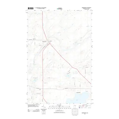
2013 Map of Independence
USGS Topo · Published 2013About this map
The settlement of Independence and the winding Cloquet River define this portion of Saint Louis County in the early twenty-first century. This landscape is characterized by a high concentration of water bodies and tributary streams, including Grand Lake, Beaver Lake, and Sunset Lake, which feed into the larger river system via Chalberg Cr and Beartrap Cr. The transportation network is anchored by the junction of Independence Rd and Industrial Rd, reflecting a region balanced between quiet lakeside living and local commerce. Genealogists and local historians will find the Independence Cem and Saint Johns Cem clearly marked, along with established community spaces like Harnell Park. The map also captures the path of Us-53 as it bisects the northern terrain, supported by facilities like the Independence Rest Area.
Find a feature on this map
38 named features on this map. Tap any name to fly to it.
Don’t see what you’re looking for? This feature index may not catch every label — zoom into the map to look around manually.
Map Details
Editions of this 2013 Independence Map
This is the sole edition of this map. No revisions or reprints were ever made.
Other maps of this area

1953 · Twig
USGS Topo · 1:24,000

1953 · Canyon
USGS Topo · 1:24,000

1953 · Shaw
USGS Topo · 1:24,000

1953 · Saginaw
USGS Topo · 1:24,000

1953 · Payne
USGS Topo · 1:24,000

1953 · Adolph
USGS Topo · 1:24,000

1953 · Alborn
USGS Topo · 1:24,000

1953 · Brookston
USGS Topo · 1:24,000

1953 · Independence
USGS Topo · 1:24,000

1953 · Duluth
USGS Topo · 1:250,000