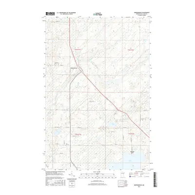
2016 Map of Independence
USGS Topo · Published 2016About this map
The Independence settlement in Saint Louis County is situated amidst a complex network of waterways and wetlands north of Duluth. The Cloquet River meanders across the central landscape, joined by numerous tributaries including Hellwig Cr, Chicken Cr, and Spring Cr. This environment is punctuated by glacial lakes such as Grand Lake, which features Harnell Park on its northern shore, and the smaller Sunset Lake and Beaver Lake to the northwest.
Find a feature on this map
44 named features on this map. Tap any name to fly to it.
Don’t see what you’re looking for? This feature index may not catch every label — zoom into the map to look around manually.
Map Details
Editions of this 2016 Independence Map
This is the sole edition of this map. No revisions or reprints were ever made.
Other maps of this area
1953 · Twig
USGS Topo · 1:24,000
1953 · Canyon
USGS Topo · 1:24,000
1953 · Shaw
USGS Topo · 1:24,000
1953 · Saginaw
USGS Topo · 1:24,000
1953 · Payne
USGS Topo · 1:24,000
1953 · Adolph
USGS Topo · 1:24,000
1953 · Alborn
USGS Topo · 1:24,000
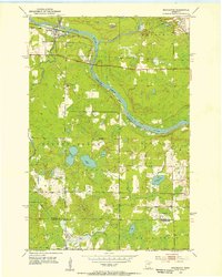
1953 · Brookston
USGS Topo · 1:24,000
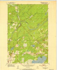
1953 · Independence
USGS Topo · 1:24,000

1953 · Duluth
USGS Topo · 1:250,000