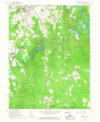
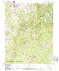
1966 Map of Independent Hill
USGS Topo · Published 1968About this map
Lake Jackson and the winding Occoquan Creek serve as the centerpiece of this mid-1960s landscape, illustrating the transition from rural Prince William County to suburban development. The map details the growing outskirts of Manassas, including the residential expansion at Georgetown South and Hillcrest Estates. Local recreation and community life are well-documented, from the Old Dominion Speedway and Manassas Hills Country Club to the Tapawingo Boy Scout Camp along the riverbanks.
Find a feature on this map
50 named features on this map. Tap any name to fly to it.
Don’t see what you’re looking for? This feature index may not catch every label — zoom into the map to look around manually.
Map Details
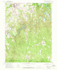
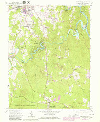
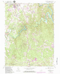
Editions of this 1966 Independent Hill Map
5 editions found
Other maps of this area

1890 · Mt. Vernon
USGS Topo · 1:125,000

1891 · Mt. Vernon
USGS Topo · 1:125,000

1894 · Warrenton
USGS Topo · 1:125,000

1894 · Mt. Vernon
USGS Topo · 1:125,000

1897 · Mt. Vernon
USGS Topo · 1:125,000

1915 · Fairfax
USGS Topo · 1:62,500

1927 · Quantico
USGS Topo · 1:62,500

1933 · Middleburg
USGS Topo · 1:62,500

1940 · Quantico
USGS Topo · 1:62,500

1943 · Quantico
USGS Topo · 1:62,500