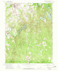
1966 Map of Independent Hill
USGS Topo · Published 1971About this map
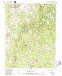
The Occoquan River and its various branches, including Bull Run, Broad Run, and Cedar Run, define the complex hydraulic landscape of Prince William County during this mid-century period. The creation of the Occoquan Reservoir and Lake Jackson showcases the mid-20th-century transition toward controlled water resources and recreational developments. Further south, the map details the expansive Quantico Marine Corps Schools and the northern reaches of Prince William Forest Park, indicating the significant military and conservation footprint in the region.
Find a feature on this map
53 named features on this map. Tap any name to fly to it.
Don’t see what you’re looking for? This feature index may not catch every label — zoom into the map to look around manually.
Map Details
Editions of this 1966 Independent Hill Map
5 editions found
Other maps of this area

1890 · Mt. Vernon
USGS Topo · 1:125,000

1891 · Mt. Vernon
USGS Topo · 1:125,000

1894 · Warrenton
USGS Topo · 1:125,000

1894 · Mt. Vernon
USGS Topo · 1:125,000

1897 · Mt. Vernon
USGS Topo · 1:125,000

1915 · Fairfax
USGS Topo · 1:62,500

1927 · Quantico
USGS Topo · 1:62,500

1933 · Middleburg
USGS Topo · 1:62,500

1940 · Quantico
USGS Topo · 1:62,500

1943 · Quantico
USGS Topo · 1:62,500