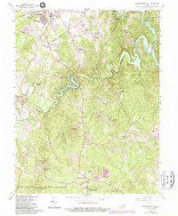
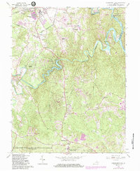
1966 Map of Independent Hill
USGS Topo · Published 1987About this map
Lake Jackson and the winding course of the Occoquan River anchor this mid-century portrait of Prince William County. The landscape shows a region in transition, where established rural communities like Brentsville and Independent Hill meet the expanding residential footprints of Georgetown South and Longview. Local industry and social life are represented by the Old Dominion Speedway and the County Fairgrounds, while the southern reaches of Manassas are visible at the map's northern edge.
Find a feature on this map
57 named features on this map. Tap any name to fly to it.
Don’t see what you’re looking for? This feature index may not catch every label — zoom into the map to look around manually.
Map Details
Editions of this 1966 Independent Hill Map
5 editions found
Other maps of this area

1890 · Mt. Vernon
USGS Topo · 1:125,000

1891 · Mt. Vernon
USGS Topo · 1:125,000

1894 · Warrenton
USGS Topo · 1:125,000

1894 · Mt. Vernon
USGS Topo · 1:125,000

1897 · Mt. Vernon
USGS Topo · 1:125,000

1915 · Fairfax
USGS Topo · 1:62,500

1927 · Quantico
USGS Topo · 1:62,500

1933 · Middleburg
USGS Topo · 1:62,500

1940 · Quantico
USGS Topo · 1:62,500

1943 · Quantico
USGS Topo · 1:62,500