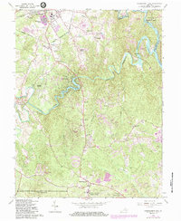
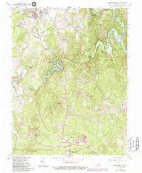
1966 Map of Independent Hill
USGS Topo · Published 1984About this map
Lake Jackson and the winding Occoquan River anchor this mid-century look at Prince William County, showing a landscape on the verge of suburban transition. While the southern portion of Manassas begins to expand with developments like Georgetown South and the County Fairgrounds, much of the quadrangle retains a rural character defined by old family-named sites and scattered community hubs. The northern reaches show the influence of the Southern railroad, while the southern edge is dominated by the sprawling Marine Corps Development and Education Command (Quantico). Local institutions such as Brentsville and the Old Dominion Speedway stand alongside numerous country churches including Sacred Heart Cath Ch and St Marys Ch. This 1966 revision, updated in the early 1980s, captures the growth of Dale City and Woodbine Woods before they fully transformed the local topography.
Find a feature on this map
67 named features on this map. Tap any name to fly to it.
Don’t see what you’re looking for? This feature index may not catch every label — zoom into the map to look around manually.
Map Details
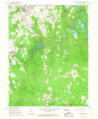
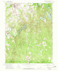
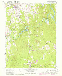
Editions of this 1966 Independent Hill Map
5 editions found
Other maps of this area

1890 · Mt. Vernon
USGS Topo · 1:125,000

1891 · Mt. Vernon
USGS Topo · 1:125,000

1894 · Warrenton
USGS Topo · 1:125,000

1894 · Mt. Vernon
USGS Topo · 1:125,000

1897 · Mt. Vernon
USGS Topo · 1:125,000

1915 · Fairfax
USGS Topo · 1:62,500

1927 · Quantico
USGS Topo · 1:62,500

1933 · Middleburg
USGS Topo · 1:62,500

1940 · Quantico
USGS Topo · 1:62,500

1943 · Quantico
USGS Topo · 1:62,500