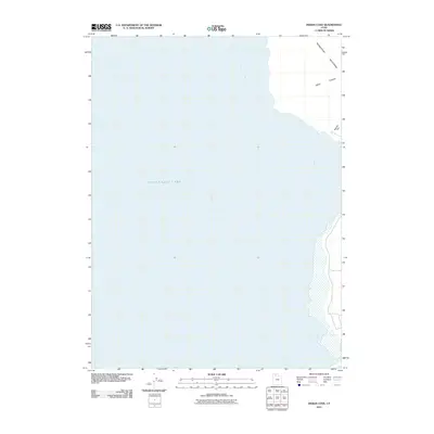
2011 Map of Indian Cove
USGS Topo · Published 2011About this map
Great Salt Lake dominates this landscape, with the vast waters of Gunnison Bay occupying the majority of the quadrangle. This 2011 survey illustrates the stark meeting of the northern lake waters and the arid eastern coastline of the Promontory peninsula. Along this shoreline, Indian Cove and Rozel Bay define the transition from water to the upland terrain of the Promontory Mountains. The geography is characterized by its relative emptiness, where geological formations and hydrology take precedence over human development. In the northeastern corner, the elevation rises sharply through Miller Canyon and across the level expanse of Squaw Flat, providing a clear look at the topographic profile of this isolated stretch of Box Elder County.
Find a feature on this map
7 named features on this map. Tap any name to fly to it.
Don’t see what you’re looking for? This feature index may not catch every label — zoom into the map to look around manually.
Map Details
Editions of this 2011 Indian Cove Map
This is the sole edition of this map. No revisions or reprints were ever made.
Other maps of this area

1954 · Brigham City
USGS Topo · 1:250,000

1958 · Brigham City
USGS Topo · 1:250,000

1962 · Brigham City
USGS Topo · 1:250,000
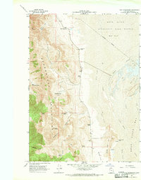
1967 · East Promontory
USGS Topo · 1:24,000
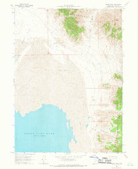
1968 · Messix Peak
USGS Topo · 1:24,000
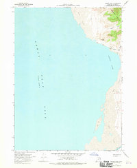
1968 · Indian Cove
USGS Topo · 1:24,000
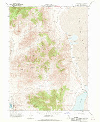
1968 · Pokes Point
USGS Topo · 1:24,000
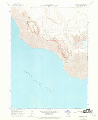
1968 · Rozel Point
USGS Topo · 1:24,000
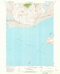
1968 · Promontory Point
USGS Topo · 1:24,000
1969 · Rozel Point SW
USGS Topo · 1:24,000