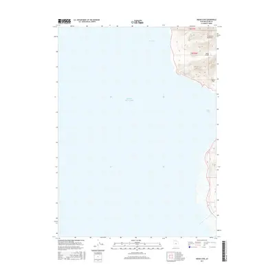
2017 Map of Indian Cove
USGS Topo · Published 2017About this map
The Promontory Mountains descend sharply toward the eastern shoreline of the Great Salt Lake in this 2017 survey of the Box Elder County coast. The map illustrates a landscape of extreme contrast, where the steep relief of Miller Canyon and the high ground of Squaw Flat meet the expansive, flat waters of the northern lake. This interface of land and water is punctuated by Rozel Bay and the eponymous Indian Cove, areas defined by their proximity to the shifting salt flats and shoreline. While the western half of the map is dominated by open water, the eastern section reveals the complex topography of the range, including the township boundaries of t8n r6w and t7n r6w, which help organize the sparsely populated terrain.
Find a feature on this map
8 named features on this map. Tap any name to fly to it.
Don’t see what you’re looking for? This feature index may not catch every label — zoom into the map to look around manually.
Map Details
Editions of this 2017 Indian Cove Map
This is the sole edition of this map. No revisions or reprints were ever made.
Other maps of this area

1954 · Brigham City
USGS Topo · 1:250,000

1958 · Brigham City
USGS Topo · 1:250,000

1962 · Brigham City
USGS Topo · 1:250,000
1967 · East Promontory
USGS Topo · 1:24,000
1968 · Messix Peak
USGS Topo · 1:24,000
1968 · Indian Cove
USGS Topo · 1:24,000
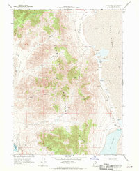
1968 · Pokes Point
USGS Topo · 1:24,000
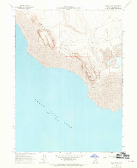
1968 · Rozel Point
USGS Topo · 1:24,000
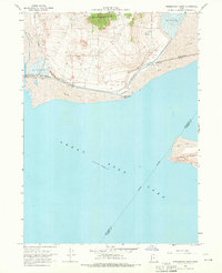
1968 · Promontory Point
USGS Topo · 1:24,000
1969 · Rozel Point SW
USGS Topo · 1:24,000