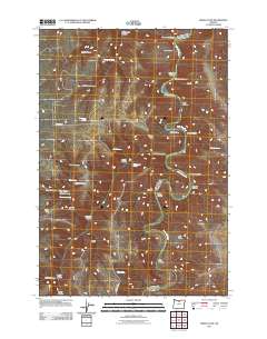
2011 Map of Indian Cove
USGS Topo · Published 2011About this map
The John Day River carves a deep, winding path through this portion of Sherman County, creating a dramatic landscape of high plateaus and steep-walled canyons. The river's serpentine course is punctuated by several named landforms, including Indian Cove, Minton Cove, and the broad Lon Eakin Flat. These features, along with prominent overlooks like Wilson Point and Peddicord Point, illustrate a terrain defined by hydraulic erosion and basalt formations.
Find a feature on this map
41 named features on this map. Tap any name to fly to it.
Don’t see what you’re looking for? This feature index may not catch every label — zoom into the map to look around manually.
Map Details
Editions of this 2011 Indian Cove Map
This is the sole edition of this map. No revisions or reprints were ever made.
Other maps of this area

1916 · Condon
USGS Topo · 1:125,000

1953 · The Dalles
USGS Topo · 1:250,000

1956 · The Dalles
USGS Topo · 1:250,000

1957 · The Dalles
USGS Topo · 1:250,000

1970 · Indian Cove
USGS Topo · 1:24,000

1970 · Kent
USGS Topo · 1:24,000
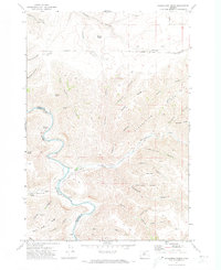
1970 · Shoestring Ridge
USGS Topo · 1:24,000

1970 · Rosebush
USGS Topo · 1:24,000
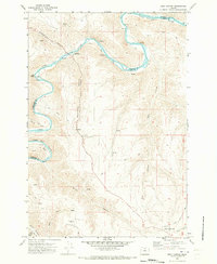
1970 · Esau Canyon
USGS Topo · 1:24,000

1971 · Moro
USGS Topo · 1:24,000