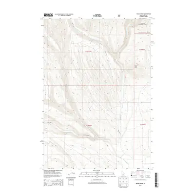
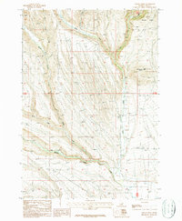
2013 Map of Indian Creek
USGS Topo · Published 2013About this map
Targhee National Forest dominates the northeastern corner of this Clark County landscape, where the high-altitude terrain is defined by a complex drainage network. The watershed is anchored by Indian Cr and its tributaries, including W Fork Indian Cr and E Fork Indian Cr, which flow south from the forest boundary. In the south, Medicine Lodge Cr cuts across the basin, joined by smaller flows like Middle Cr and Rocky Cr. Access through this high-country region is limited to primary corridors like Medicine Lodge Rd and Indian Creek Rd, which follow the natural contours of the stream valleys. The most prominent elevation feature is Indian Creek Butte, standing as a landmark amidst the intricate topographic folds of the High Divide area.
Find a feature on this map
18 named features on this map. Tap any name to fly to it.
Don’t see what you’re looking for? This feature index may not catch every label — zoom into the map to look around manually.
Map Details
Editions of this 2013 Indian Creek Map
This is the sole edition of this map. No revisions or reprints were ever made.
Other maps of this area

1955 · Dubois
USGS Topo · 1:250,000
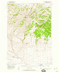
1957 · Paul Reservoir
USGS Topo · 1:62,500
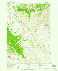
1957 · Edie Ranch
USGS Topo · 1:62,500

1958 · Dubois
USGS Topo · 1:250,000
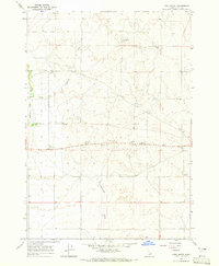
1964 · Lone Butte
USGS Topo · 1:24,000
1964 · Small
USGS Topo · 1:24,000
1969 · Lidy Hot Springs
USGS Topo · 1:24,000
1983 · Dubois
USGS Topo · 1:100,000
1987 · Thunder Gulch
USGS Topo · 1:24,000
1987 · Indian Creek
USGS Topo · 1:24,000