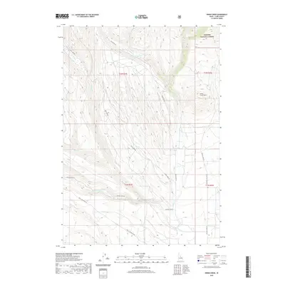
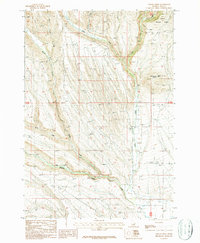
2020 Map of Indian Creek
USGS Topo · Published 2020About this map
Targhee National Forest anchors the northeastern corner of this drainage landscape, where the high point of Indian Creek Butte overlooks a complex network of seasonal and perennial watercourses. The territory is defined by its watershed transitions, with the W Fork Indian Cr and E Fork Indian Cr converging as they descend from the higher elevations of the national forest. A system of unpaved access routes, including Medicine Lodge Rd and Small-Lake-Hollow Rd, follows the natural contours of the land, tracing the path of Medicine Lodge Cr through the southern valley. This 2020 survey reveals an area primarily utilized for ranching and forest management, where naming conventions like Dead Horse Cr and Corral Cr hint at the historical livestock movement and rugged high-country utility that has characterized Clark County for generations.
Find a feature on this map
21 named features on this map. Tap any name to fly to it.
Don’t see what you’re looking for? This feature index may not catch every label — zoom into the map to look around manually.
Map Details
Editions of this 2020 Indian Creek Map
This is the sole edition of this map. No revisions or reprints were ever made.
Other maps of this area

1955 · Dubois
USGS Topo · 1:250,000
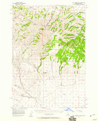
1957 · Paul Reservoir
USGS Topo · 1:62,500
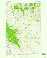
1957 · Edie Ranch
USGS Topo · 1:62,500

1958 · Dubois
USGS Topo · 1:250,000
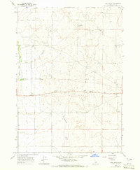
1964 · Lone Butte
USGS Topo · 1:24,000
1964 · Small
USGS Topo · 1:24,000
1969 · Lidy Hot Springs
USGS Topo · 1:24,000
1983 · Dubois
USGS Topo · 1:100,000
1987 · Thunder Gulch
USGS Topo · 1:24,000
1987 · Indian Creek
USGS Topo · 1:24,000