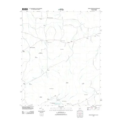
2011 Map of Indian Mountain
USGS Topo · Published 2011About this map
Indian Mountain and its surrounding peaks dominate the terrain of this borderlands region, where the industrial legacy of Northwest Georgia and Northeast Alabama is etched into the landscape. Named for the ore deposits once extracted here, the settlement of Bauxite sits near the headwaters of Frog Creek, while nearby Rock Run and Tecumseh point to the area's history of iron production and mineral wealth. The map reveals a dense network of early crossroads and rural communities, such as McCord Crossroads, Forney, and Bluffton, each often anchored by proximity to local water sources like Lumpkin Mill Creek or Terrapin Creek Lake Number 17.
Find a feature on this map
84 named features on this map. Tap any name to fly to it.
Don’t see what you’re looking for? This feature index may not catch every label — zoom into the map to look around manually.
Map Details
Editions of this 2011 Indian Mountain Map
2 editions found
Other maps of this area

1886 · Rome
USGS Topo · 1:125,000

1889 · Tallapoosa
USGS Topo · 1:125,000

1892 · Tallapoosa
USGS Topo · 1:125,000

1893 · Fort Payne
USGS Topo · 1:125,000

1897 · Tallapoosa
USGS Topo · 1:125,000

1898 · Rome
USGS Topo · 1:125,000

1898 · Fort Payne
USGS Topo · 1:125,000

1899 · Rome
USGS Topo · 1:125,000

1900 · Fort Payne
USGS Topo · 1:125,000

1900 · Anniston
USGS Topo · 1:125,000