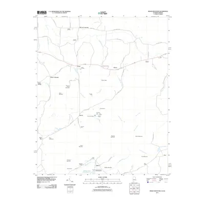
2011 Map of Indian Mountain
USGS Topo · Published 2011About this map
Mining and crossroads settlements define this landscape along the Alabama and Georgia border. The map illustrates a high concentration of mineral resource extraction, particularly around the settlement of Bauxite, where several workings including the Old Dykes Cut Mine, Texas Cut Mine, and Bustup Mine are clustered. To the north and south, legacy mining operations like the Klondike Mine and Stonewall Mine mark the terrain near Forney and Bluffton.
Find a feature on this map
73 named features on this map. Tap any name to fly to it.
Don’t see what you’re looking for? This feature index may not catch every label — zoom into the map to look around manually.
Map Details
Editions of this 2011 Indian Mountain Map
2 editions found
Other maps of this area

1886 · Rome
USGS Topo · 1:125,000

1889 · Tallapoosa
USGS Topo · 1:125,000

1892 · Tallapoosa
USGS Topo · 1:125,000

1893 · Fort Payne
USGS Topo · 1:125,000

1897 · Tallapoosa
USGS Topo · 1:125,000

1898 · Rome
USGS Topo · 1:125,000

1898 · Fort Payne
USGS Topo · 1:125,000

1899 · Rome
USGS Topo · 1:125,000

1900 · Fort Payne
USGS Topo · 1:125,000

1900 · Anniston
USGS Topo · 1:125,000