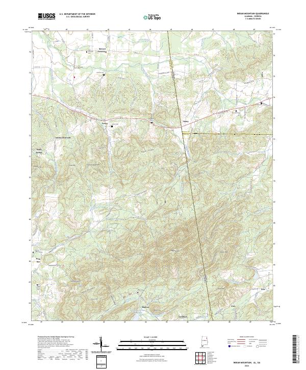
2024 Map of Indian Mountain
USGS Topo · Published 2024About this map
Indian Mountain rises as the central topographic anchor of this borderland, where Alabama's Cherokee County meets Georgia's Floyd and Polk counties. This modern survey illustrates a landscape of narrow ridges and hollows defined by Poplar Ridge and Etna Mtn, with the historic settlement of Bluffton tucked near the base of the mountain. The area is dotted with small crossroads communities and family landmarks, including McCord Crossroads and Adams Crossroads.
Find a feature on this map
87 named features on this map. Tap any name to fly to it.
Don’t see what you’re looking for? This feature index may not catch every label — zoom into the map to look around manually.
Map Details
Editions of this 2024 Indian Mountain Map
This is the sole edition of this map. No revisions or reprints were ever made.
Other maps of this area

1886 · Rome
USGS Topo · 1:125,000

1889 · Tallapoosa
USGS Topo · 1:125,000

1892 · Tallapoosa
USGS Topo · 1:125,000

1893 · Fort Payne
USGS Topo · 1:125,000

1897 · Tallapoosa
USGS Topo · 1:125,000

1898 · Rome
USGS Topo · 1:125,000

1898 · Fort Payne
USGS Topo · 1:125,000

1899 · Rome
USGS Topo · 1:125,000

1900 · Fort Payne
USGS Topo · 1:125,000

1900 · Anniston
USGS Topo · 1:125,000