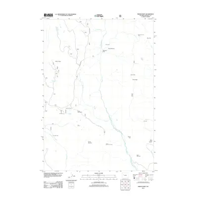
2012 Map of Indian Point
USGS Topo · Published 2012About this map
Wiggins Fork cuts a wide path through this high-altitude landscape in Fremont County, where the topography is defined by significant ridges and drainages. The map reveals a specific pattern of seasonal occupation and ranching history, evidenced by several remote outposts such as Rocking Chair Cow Camp, Spring Mountain Cow Camp, and Beck Cow Camp. These sites, along with Hough Cabin and Bain Cabin, suggest a long-standing reliance on the high-country meadows for summer grazing.
Find a feature on this map
31 named features on this map. Tap any name to fly to it.
Don’t see what you’re looking for? This feature index may not catch every label — zoom into the map to look around manually.
Map Details
Editions of this 2012 Indian Point Map
This is the sole edition of this map. No revisions or reprints were ever made.
Other maps of this area
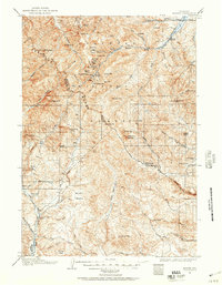
1904 · Kirwin
USGS Topo · 1:125,000
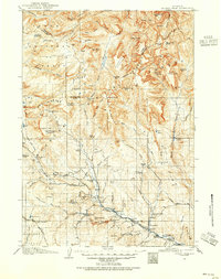
1905 · Younts Peak
USGS Topo · 1:125,000
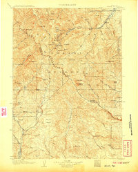
1906 · Kirwin
USGS Topo · 1:125,000
1907 · Younts Peak
USGS Topo · 1:125,000

1955 · Thermopolis
USGS Topo · 1:250,000
1956 · Indian Point
USGS Topo · 1:24,000
1956 · Dubois
USGS Topo · 1:24,000
1956 · Ramshorn Peak
USGS Topo · 1:24,000
1956 · Snow Lake
USGS Topo · 1:24,000
1956 · Five Pockets
USGS Topo · 1:24,000