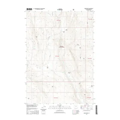
2015 Map of Indian Point
USGS Topo · Published 2015About this map
Shoshone National Forest lands dominate this high-altitude landscape in the Absaroka Range, where the terrain is defined by dramatic elevation changes and a network of mountain drainage systems. The Wiggins Fork flows southward through the center of the sheet, carving a path between the Elkhorn Ridge to the west and the heights of Indian Point to the east. Remote and high, the area includes several notable alpine crossings such as Bear Pass and Bull Elk Pass.
Find a feature on this map
34 named features on this map. Tap any name to fly to it.
Don’t see what you’re looking for? This feature index may not catch every label — zoom into the map to look around manually.
Map Details
Editions of this 2015 Indian Point Map
This is the sole edition of this map. No revisions or reprints were ever made.
Other maps of this area
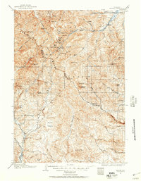
1904 · Kirwin
USGS Topo · 1:125,000
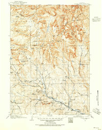
1905 · Younts Peak
USGS Topo · 1:125,000
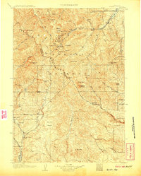
1906 · Kirwin
USGS Topo · 1:125,000
1907 · Younts Peak
USGS Topo · 1:125,000

1955 · Thermopolis
USGS Topo · 1:250,000
1956 · Indian Point
USGS Topo · 1:24,000
1956 · Dubois
USGS Topo · 1:24,000
1956 · Ramshorn Peak
USGS Topo · 1:24,000
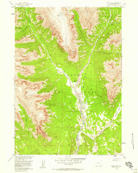
1956 · Snow Lake
USGS Topo · 1:24,000
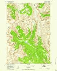
1956 · Five Pockets
USGS Topo · 1:24,000