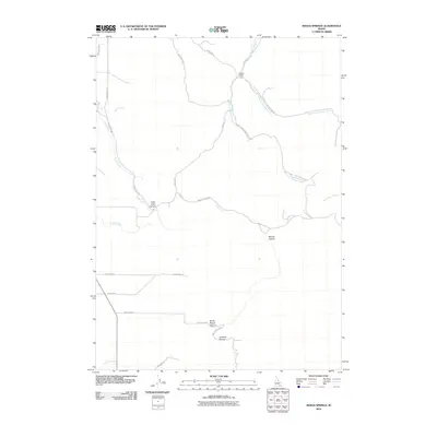
2010 Map of Indian Springs
USGS Topo · Published 2010About this map
Garden Ranch sits near the confluence of the forks of Sunbeam Creek in this part of Power County. The landscape is defined by its drainage network, where Cold Creek cuts through Cold Creek Canyon while Bowen Canyon and Broad Mouth Canyon dominate the southern reaches. The road system is heavily influenced by these natural features, with routes such as Bowen Canyon Rd and West Fork Sunbeam Rd tracing the paths of the waterways and the contours of the high ground. In the northwest, the Main West Canal indicates the diversion of water for agricultural use, contrasting with the more natural flow of Moonshine Creek to the east. This 2010 survey provides a clear view of the ranching and irrigation infrastructure that sustains the region's rural economy.
Find a feature on this map
27 named features on this map. Tap any name to fly to it.
Don’t see what you’re looking for? This feature index may not catch every label — zoom into the map to look around manually.
Map Details
Editions of this 2010 Indian Springs Map
This is the sole edition of this map. No revisions or reprints were ever made.
Other maps of this area

1934 · American Falls
USGS Topo · 1:62,500

1934 · Michaud
USGS Topo · 1:62,500

1934 · Rockland
USGS Topo · 1:62,500

1936 · American Falls
USGS Topo · 1:62,500

1937 · Rockland
USGS Topo · 1:62,500

1937 · Michaud
USGS Topo · 1:62,500

1938 · Pauline
USGS Topo · 1:48,000

1944 · Arbon
USGS Topo · 1:62,500

1954 · Pocatello
USGS Topo · 1:250,000

1958 · Pocatello
USGS Topo · 1:250,000