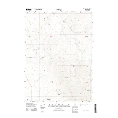
2013 Map of Indian Springs
USGS Topo · Published 2013About this map
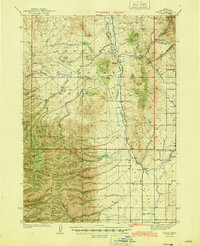
The Deep Creek Mountains dominate this 2013 topographic landscape in Power County, where the high desert terrain is carved by an intricate system of drainages and canyons. The settlement at Indian Springs and the Garden Ranch provide evidence of human habitation and land use within this complex topography. The map illustrates a developed irrigation and transport network, including the Main W Canal and several local routes such as Cold Creek Rd and Sunbeam Rd.
Find a feature on this map
40 named features on this map. Tap any name to fly to it.
Don’t see what you’re looking for? This feature index may not catch every label — zoom into the map to look around manually.
Map Details
Editions of this 2013 Indian Springs Map
This is the sole edition of this map. No revisions or reprints were ever made.
Other maps of this area
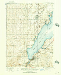
1934 · American Falls
USGS Topo · 1:62,500
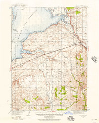
1934 · Michaud
USGS Topo · 1:62,500
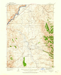
1934 · Rockland
USGS Topo · 1:62,500
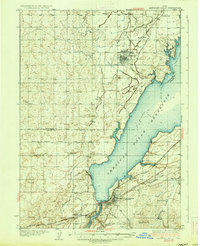
1936 · American Falls
USGS Topo · 1:62,500
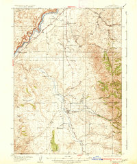
1937 · Rockland
USGS Topo · 1:62,500
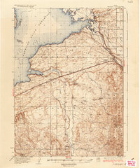
1937 · Michaud
USGS Topo · 1:62,500
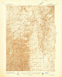
1938 · Pauline
USGS Topo · 1:48,000
1944 · Arbon
USGS Topo · 1:62,500

1954 · Pocatello
USGS Topo · 1:250,000

1958 · Pocatello
USGS Topo · 1:250,000