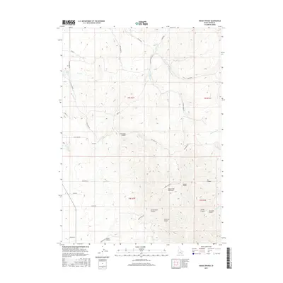
2017 Map of Indian Springs
USGS Topo · Published 2017About this map
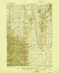
Indian Springs and the drainage of Warm Cr anchor the northwest corner of this Power County landscape. The terrain is defined by the steep rises of the Deep Creek Mountains, where a series of dramatic canyons cut through the high ground. To the south and east, the map reveals a network of named drainages such as Broad Mouth Canyon, Cotterell Canyon, and Swede Canyon, showing how the local topography dictates the movement of water and the placement of mountain roads. A complex system of rural routes, including Sunbeam Rd and Cold Creek Rd, traces the contours of the land, connecting remote draws like Rocky Hollow to the creek valleys. The presence of Moonshine Cr and Porcupine Cr in the eastern reaches illustrates the various small-scale water sources that supported ranching and transit through these high-altitude passes.
Find a feature on this map
42 named features on this map. Tap any name to fly to it.
Don’t see what you’re looking for? This feature index may not catch every label — zoom into the map to look around manually.
Map Details
Editions of this 2017 Indian Springs Map
This is the sole edition of this map. No revisions or reprints were ever made.
Other maps of this area
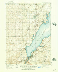
1934 · American Falls
USGS Topo · 1:62,500
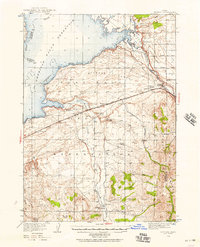
1934 · Michaud
USGS Topo · 1:62,500
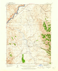
1934 · Rockland
USGS Topo · 1:62,500
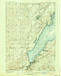
1936 · American Falls
USGS Topo · 1:62,500
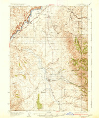
1937 · Rockland
USGS Topo · 1:62,500
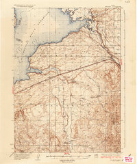
1937 · Michaud
USGS Topo · 1:62,500
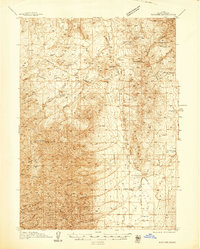
1938 · Pauline
USGS Topo · 1:48,000
1944 · Arbon
USGS Topo · 1:62,500

1954 · Pocatello
USGS Topo · 1:250,000

1958 · Pocatello
USGS Topo · 1:250,000