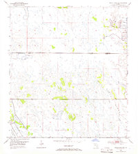
1953 Map of Indian Town NW
USGS Topo · Published 1966About this map
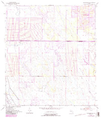
Allapattah Flats dominates this mid-century landscape, revealing a period of intense hydrologic modification along the border of Martin and St. Lucie counties. The survey captures the early engineering of the Florida Everglades' eastern edge, where long stretches of Levee and numerous Spoil Banks reflect large-scale efforts to manage water flow and reclaim land for agricultural or development potential. This drainage network is anchored by a significant Canal running parallel to the St Lucie Co Martin Co County Line.
Find a feature on this map
7 named features on this map. Tap any name to fly to it.
Don’t see what you’re looking for? This feature index may not catch every label — zoom into the map to look around manually.
Map Details
Editions of this 1953 Indian Town NW Map
6 editions found
Other maps of this area

1948 · Palm City
USGS Topo · 1:24,000

1948 · Ankona
USGS Topo · 1:24,000

1950 · Ankona
USGS Topo · 1:24,000

1950 · Palm City
USGS Topo · 1:24,000

1953 · Okeechobee 4 SE
USGS Topo · 1:24,000

1953 · Okeechobee 1 SE
USGS Topo · 1:24,000

1953 · Okeechobee 4 NE
USGS Topo · 1:24,000

1953 · Indian Town SE
USGS Topo · 1:24,000

1953 · Indian Town NW
USGS Topo · 1:24,000

1953 · Fort Pierce SW
USGS Topo · 1:24,000