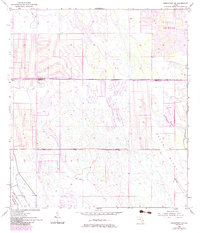
1953 Map of Indiantown NW
USGS Topo · Published 1983About this map
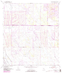
Port St Lucie defines the northeastern corner of this landscape, showing the emerging suburban street grid at the Port St Lucie Corporation Boundary. South of the St. Lucie and Martin County Line, the terrain transitions into a more natural and managed drainage environment. Significant hydrological features include the Green Ridge Slough and Cane Slough, which cut through the low-lying interior. To the southwest, the Allapattah Flats stretch across the territory, reflecting the traditional wet prairie and flatwoods character of the Florida Everglades’ northern reaches. Man-made interventions are visible through a series of water control structures, including an extensive Levee and a prominent Spoil Bank, illustrating the historical efforts to manage and reclaim these wetlands for development or agriculture during the mid-20th century.
Find a feature on this map
10 named features on this map. Tap any name to fly to it.
Don’t see what you’re looking for? This feature index may not catch every label — zoom into the map to look around manually.
Map Details
Editions of this 1953 Indiantown NW Map
6 editions found
Other maps of this area

1948 · Palm City
USGS Topo · 1:24,000

1948 · Ankona
USGS Topo · 1:24,000

1950 · Ankona
USGS Topo · 1:24,000

1950 · Palm City
USGS Topo · 1:24,000

1953 · Okeechobee 4 SE
USGS Topo · 1:24,000

1953 · Okeechobee 1 SE
USGS Topo · 1:24,000

1953 · Okeechobee 4 NE
USGS Topo · 1:24,000

1953 · Indian Town SE
USGS Topo · 1:24,000

1953 · Indian Town NW
USGS Topo · 1:24,000

1953 · Fort Pierce SW
USGS Topo · 1:24,000