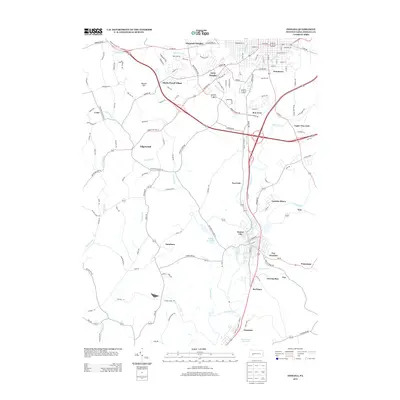
2013 Map of Indiana
USGS Topo · Published 2013About this map
Homer City stands as a focal point along the banks of Two Lick Cr in this contemporary 2013 survey of the Indiana, Pennsylvania area. The map illustrates a landscape shaped by both suburban expansion and industrial legacies, with residential developments like Claypoole Heights, Shado-Wood Village, and Getty Heights framing the northern outskirts of the county seat. Moving south, the terrain transitions into a region marked by its extractive and utility history, evidenced by Lucerne Mines and the infrastructure surrounding Graceton. The intricate network of waterways, including Cherry Run, Yellow Cr, and Tearing Run, dictates the local geography, while landmarks such as Cherry Run Lake and the Graceton Reservoir highlight the importance of water management in the region. Transportation corridors like Route 422 Hwy W and the smaller tracks near Coy Junction and Waterman reveal the enduring connection between these hilltop communities and the valley floors.
Find a feature on this map
133 named features on this map. Tap any name to fly to it.
Don’t see what you’re looking for? This feature index may not catch every label — zoom into the map to look around manually.
Map Details
Editions of this 2013 Indiana Map
This is the sole edition of this map. No revisions or reprints were ever made.
Other maps of this area

1900 · Latrobe
USGS Topo · 1:62,500

1902 · Latrobe
USGS Topo · 1:62,500

1902 · Indiana
USGS Topo · 1:62,500

1902 · Elders Ridge
USGS Topo · 1:62,500

1903 · Latrobe
USGS Topo · 1:62,500

1904 · Elders Ridge
USGS Topo · 1:62,500

1920 · New Florence
USGS Topo · 1:62,500

1921 · New Florence
USGS Topo · 1:48,000

1922 · New Florence
USGS Topo · 1:62,500

1944 · New Florence
USGS Topo · 1:62,500