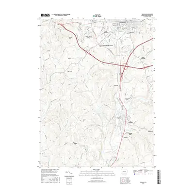
2016 Map of Indiana
USGS Topo · Published 2016About this map
Indiana and its surrounding residential communities anchor this detailed topographic record, showing the urban expansion of the county seat toward areas like Claypoole Heights and Getty Heights. The geographic heart of the borough is dominated by the Indiana University of Pennsylvania-Main Campus, while the southern landscape reflects the region's industrial and agricultural character. The course of Two Lick Creek dictates the layout of smaller settlements and transport corridors, linking Homer City and Graceton to the south.
Find a feature on this map
144 named features on this map. Tap any name to fly to it.
Don’t see what you’re looking for? This feature index may not catch every label — zoom into the map to look around manually.
Map Details
Editions of this 2016 Indiana Map
This is the sole edition of this map. No revisions or reprints were ever made.
Other maps of this area

1900 · Latrobe
USGS Topo · 1:62,500

1902 · Latrobe
USGS Topo · 1:62,500

1902 · Indiana
USGS Topo · 1:62,500

1902 · Elders Ridge
USGS Topo · 1:62,500

1903 · Latrobe
USGS Topo · 1:62,500

1904 · Elders Ridge
USGS Topo · 1:62,500

1920 · New Florence
USGS Topo · 1:62,500

1921 · New Florence
USGS Topo · 1:48,000

1922 · New Florence
USGS Topo · 1:62,500

1944 · New Florence
USGS Topo · 1:62,500