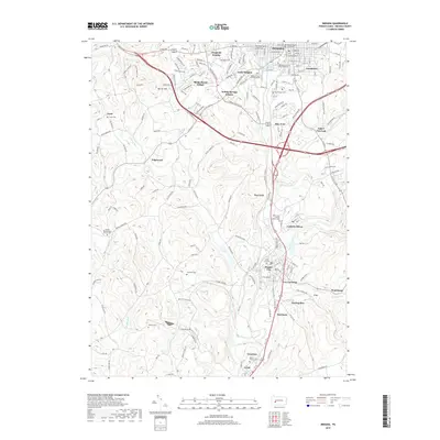
2019 Map of Indiana
USGS Topo · Published 2019About this map
The Indiana County Courthouse stands as the central landmark of this region, surrounded by the expanding campus of the Indiana University of Pennsylvania and established residential areas like Getty Heights and Grandview. This landscape transition from a dense county seat to the coal-influenced industrial corridors of the south is clear, particularly around Lucerne Mines and the borough of Homer City. The map reveals a high concentration of burial grounds and religious sites, including the Bethel Presbyterian Church Cem and Saint Louis Roman Catholic Cem, which reflect the area's diverse ethnic and social history. Waterways like Two-Lick Creek and Yellow Creek define the lowlands where the rail infrastructure once supported local mining operations, connecting smaller settlements such as Graceton, Coral, and Coy Junction.
Find a feature on this map
130 named features on this map. Tap any name to fly to it.
Don’t see what you’re looking for? This feature index may not catch every label — zoom into the map to look around manually.
Map Details
Editions of this 2019 Indiana Map
This is the sole edition of this map. No revisions or reprints were ever made.
Other maps of this area

1900 · Latrobe
USGS Topo · 1:62,500

1902 · Latrobe
USGS Topo · 1:62,500

1902 · Indiana
USGS Topo · 1:62,500

1902 · Elders Ridge
USGS Topo · 1:62,500

1903 · Latrobe
USGS Topo · 1:62,500

1904 · Elders Ridge
USGS Topo · 1:62,500

1920 · New Florence
USGS Topo · 1:62,500

1921 · New Florence
USGS Topo · 1:48,000

1922 · New Florence
USGS Topo · 1:62,500

1944 · New Florence
USGS Topo · 1:62,500