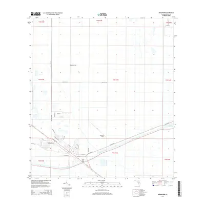
2015 Map of Indiantown
USGS Topo · Published 2015About this map
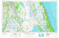
Indiantown serves as the focal point of this South Florida landscape, situated at a strategic crossroads where the Saint Lucie Canal and the Okeechobee Waterway intersect the regional road network. The map illustrates a community defined by its proximity to these major water management and transportation corridors, featuring a residential grid with locally familiar thoroughfares like SW Warfield Blvd and SW Market St. The northern reaches of the sheet are dominated by the Allapattah Flats, reflecting the region's characteristic low-lying terrain and agricultural heritage, underscored by the presence of Minute Maid Rd. Industrial and aviation utility is evidenced by the Indiantown Airport and the Indian Town Bridge, which spans the canal to connect the township with the outlying rural expanses of Martin County.
Find a feature on this map
39 named features on this map. Tap any name to fly to it.
Don’t see what you’re looking for? This feature index may not catch every label — zoom into the map to look around manually.
Map Details
Editions of this 2015 Indiantown Map
This is the sole edition of this map. No revisions or reprints were ever made.
Other maps of this area
1948 · Palm City
USGS Topo · 1:24,000
1950 · Palm City
USGS Topo · 1:24,000
1953 · Okeechobee 4 SE
USGS Topo · 1:24,000
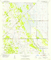
1953 · Okeechobee 4 NE
USGS Topo · 1:24,000
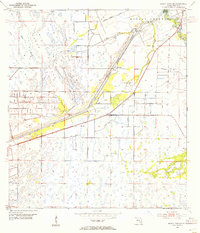
1953 · Indian Town SE
USGS Topo · 1:24,000
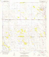
1953 · Indian Town NW
USGS Topo · 1:24,000
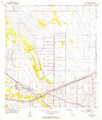
1953 · Indian Town
USGS Topo · 1:24,000

1956 · West Palm Beach
USGS Topo · 1:250,000
1956 · Fort Pierce
USGS Topo · 1:250,000

1957 · West Palm Beach
USGS Topo · 1:250,000