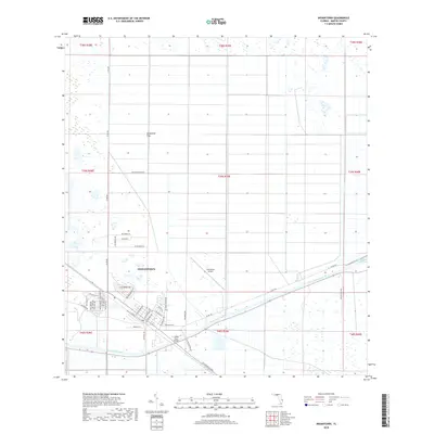
2018 Map of Indiantown
USGS Topo · Published 2018About this map
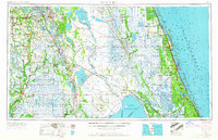
Indiantown sits at a critical intersection of water and land transport in Martin County, defined by the steady flow of the Saint Lucie Canal. This waterway, part of the larger Okeechobee Waterway, cuts a straight line through the landscape, flanked by the residential blocks of the settlement and the expansive Allapattah Flats to the north. The street grid reflects a mix of modern naming and historical references, with corridors like SW Warfield Blvd and SW Minute Maid Rd framing the community. Local infrastructure is anchored by the Indiantown Airport and the Indian-Town Bridge, which facilitates movement across the canal. The geography here is a study in Florida's water management history, where engineered canals transformed the native wetlands into a structured network of agricultural and residential zones.
Find a feature on this map
48 named features on this map. Tap any name to fly to it.
Don’t see what you’re looking for? This feature index may not catch every label — zoom into the map to look around manually.
Map Details
Editions of this 2018 Indiantown Map
This is the sole edition of this map. No revisions or reprints were ever made.
Other maps of this area
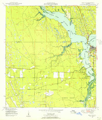
1948 · Palm City
USGS Topo · 1:24,000
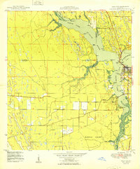
1950 · Palm City
USGS Topo · 1:24,000
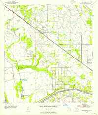
1953 · Okeechobee 4 SE
USGS Topo · 1:24,000
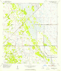
1953 · Okeechobee 4 NE
USGS Topo · 1:24,000
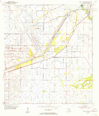
1953 · Indian Town SE
USGS Topo · 1:24,000
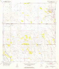
1953 · Indian Town NW
USGS Topo · 1:24,000
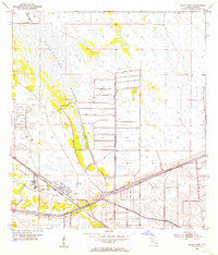
1953 · Indian Town
USGS Topo · 1:24,000

1956 · West Palm Beach
USGS Topo · 1:250,000
1956 · Fort Pierce
USGS Topo · 1:250,000

1957 · West Palm Beach
USGS Topo · 1:250,000