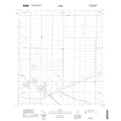
2021 Map of Indiantown
USGS Topo · Published 2021About this map
Indiantown sits at a critical junction of Florida’s inland water and air transport networks in this modern survey of western Martin County. The landscape is dominated by the massive engineering of the Saint Lucie Canal, which serves as part of the broader Okeechobee Waterway, cutting a straight line through the flat terrain. To the north, the Allapattah Flats provide a contrast to the structured grid of citrus-related roads like SW Minute Maid Rd. The map details the transition from rural agricultural land to the residential streets of the town, including SW Indianwood Cir and SW Osceola St. Important infrastructure for local transit and commerce is documented through features like the Indiantown Airport and the Indian Town Bridge, while the Allapattah Flats Trl reflects the contemporary use of the conservation lands north of the main settlement.
Find a feature on this map
52 named features on this map. Tap any name to fly to it.
Don’t see what you’re looking for? This feature index may not catch every label — zoom into the map to look around manually.
Map Details
Editions of this 2021 Indiantown Map
This is the sole edition of this map. No revisions or reprints were ever made.
Other maps of this area

1948 · Palm City
USGS Topo · 1:24,000

1950 · Palm City
USGS Topo · 1:24,000

1953 · Okeechobee 4 SE
USGS Topo · 1:24,000

1953 · Okeechobee 4 NE
USGS Topo · 1:24,000

1953 · Indian Town SE
USGS Topo · 1:24,000

1953 · Indian Town NW
USGS Topo · 1:24,000

1953 · Indian Town
USGS Topo · 1:24,000

1956 · West Palm Beach
USGS Topo · 1:250,000

1956 · Fort Pierce
USGS Topo · 1:250,000

1957 · West Palm Beach
USGS Topo · 1:250,000