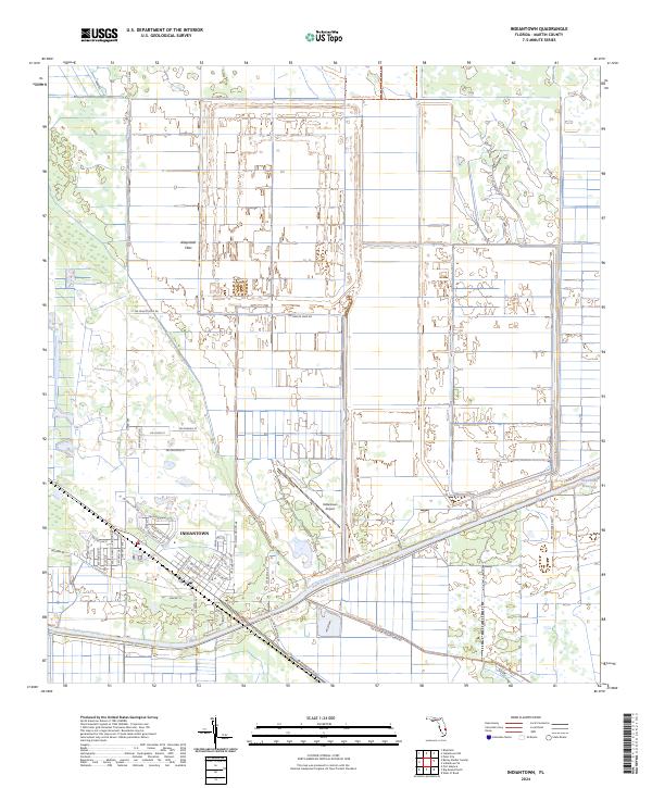
2024 Map of Indiantown
USGS Topo · Published 2024About this map
Indiantown stands as the primary hub of this inland Florida landscape, positioned along the vital transportation corridor of the Saint Lucie Canal. This waterway, part of the larger Okeechobee Waterway, serves as a defining boundary between the residential street grids and the extensive agricultural and citrus lands to the north. The presence of SW Minute Maid Rd reflects the area's deep ties to the citrus industry and commercial grove management.
Find a feature on this map
52 named features on this map. Tap any name to fly to it.
Don’t see what you’re looking for? This feature index may not catch every label — zoom into the map to look around manually.
Map Details
Editions of this 2024 Indiantown Map
This is the sole edition of this map. No revisions or reprints were ever made.
Other maps of this area

1948 · Palm City
USGS Topo · 1:24,000

1950 · Palm City
USGS Topo · 1:24,000

1953 · Okeechobee 4 SE
USGS Topo · 1:24,000

1953 · Okeechobee 4 NE
USGS Topo · 1:24,000

1953 · Indian Town SE
USGS Topo · 1:24,000

1953 · Indian Town NW
USGS Topo · 1:24,000

1953 · Indian Town
USGS Topo · 1:24,000

1956 · West Palm Beach
USGS Topo · 1:250,000

1956 · Fort Pierce
USGS Topo · 1:250,000

1957 · West Palm Beach
USGS Topo · 1:250,000