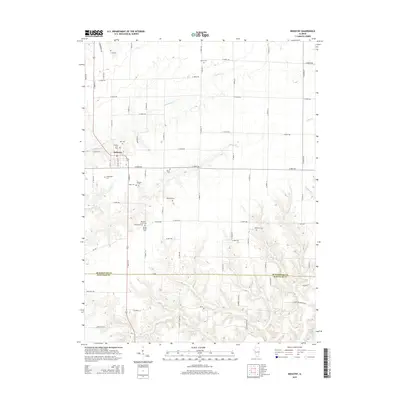
2015 Map of Industry
USGS Topo · Published 2015About this map
Industry serves as the central hub of this agricultural landscape along the border of McDonough and Schuyler Counties. The village is surrounded by a notable density of rural burying grounds, suggesting the long-standing family lineages of the Illinois prairie. To the north and west, the terrain is defined by the winding course of Grindstone Cr, while the southern portion of the map is dissected by numerous smaller waterways like Rich Br and W Br Sugar Cr. The grid of section roads, including Hickory School Rd and Lawyers Rd, connects scattered farms and historic sites such as Standard Cem and Vance Cem. This layout reflects a deeply established farming community where local landmarks like the Pleasant Grove Cem and Industry City Cem anchor the history of the surrounding townships.
Find a feature on this map
64 named features on this map. Tap any name to fly to it.
Don’t see what you’re looking for? This feature index may not catch every label — zoom into the map to look around manually.
Map Details
Editions of this 2015 Industry Map
This is the sole edition of this map. No revisions or reprints were ever made.
Other maps of this area
1912 · Macomb
USGS Topo · 1:62,500
1914 · Macomb
USGS Topo · 1:62,500
1918 · Vermont
USGS Topo · 1:62,500
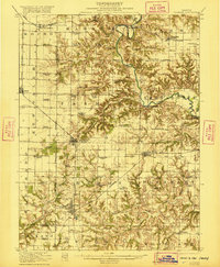
1921 · Vermont
USGS Topo · 1:62,500
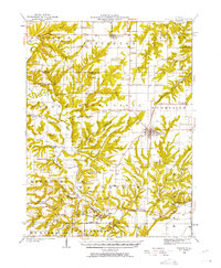
1923 · Rushville
USGS Topo · 1:62,500
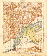
1926 · Beardstown
USGS Topo · 1:62,500
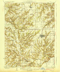
1926 · Rushville
USGS Topo · 1:62,500
1944 · Beardstown
USGS Topo · 1:62,500
1947 · Vermont
USGS Topo · 1:24,000
1947 · Adair
USGS Topo · 1:24,000