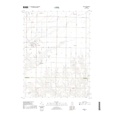
2018 Map of Industry
USGS Topo · Published 2018About this map
Industry serves as the primary hub in this portion of McDonough County, situated at the junction of North Ave and E Main St. The landscape is defined by the sharp transition between level agricultural tablelands in the north and the heavily dissected drainage basins of Grindstone Cr and Carter Cr to the south. This transition is marked by a high density of rural burial grounds, suggesting a long-established settlement pattern along the bluffs and creek breaks. Local historians can find several clustered cemeteries south of town, including the closely grouped Pleasant Grove Cem, Spring Grove Cem, and Crossroads Cem. Further into the broken terrain, the map details the intricate network of tributaries like Tolands Br and Rich Br that feed into the larger river systems of Schuyler County.
Find a feature on this map
50 named features on this map. Tap any name to fly to it.
Don’t see what you’re looking for? This feature index may not catch every label — zoom into the map to look around manually.
Map Details
Editions of this 2018 Industry Map
This is the sole edition of this map. No revisions or reprints were ever made.
Other maps of this area
1912 · Macomb
USGS Topo · 1:62,500
1914 · Macomb
USGS Topo · 1:62,500
1918 · Vermont
USGS Topo · 1:62,500
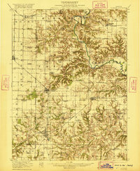
1921 · Vermont
USGS Topo · 1:62,500
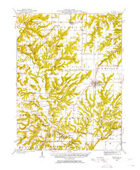
1923 · Rushville
USGS Topo · 1:62,500
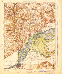
1926 · Beardstown
USGS Topo · 1:62,500
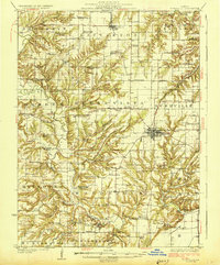
1926 · Rushville
USGS Topo · 1:62,500
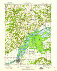
1944 · Beardstown
USGS Topo · 1:62,500
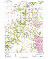
1947 · Vermont
USGS Topo · 1:24,000
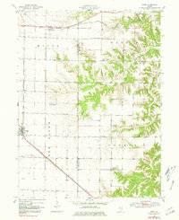
1947 · Adair
USGS Topo · 1:24,000