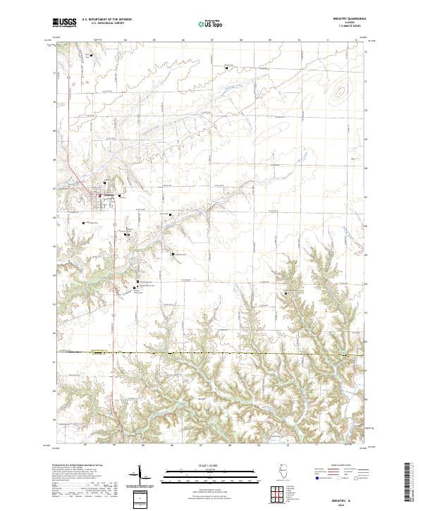
2024 Map of Industry
USGS Topo · Published 2024About this map
Industry serves as the primary hub in this rural landscape, positioned at the intersection of local routes in southern McDonough County. The settlement pattern is defined by a dense concentration of historical burial sites, including Industry Cem, Vail Cem, and Wilhelm Cem, suggesting a well-established network of family homesteads and local congregations. To the south, the terrain becomes increasingly dissected by an intricate drainage system where Rich Branch and West Branch Sugar Creek cut through the topography near the boundary with Schuyler County.
Find a feature on this map
74 named features on this map. Tap any name to fly to it.
Don’t see what you’re looking for? This feature index may not catch every label — zoom into the map to look around manually.
Map Details
Editions of this 2024 Industry Map
This is the sole edition of this map. No revisions or reprints were ever made.
Other maps of this area

1912 · Macomb
USGS Topo · 1:62,500

1914 · Macomb
USGS Topo · 1:62,500

1918 · Vermont
USGS Topo · 1:62,500

1921 · Vermont
USGS Topo · 1:62,500

1923 · Rushville
USGS Topo · 1:62,500

1926 · Beardstown
USGS Topo · 1:62,500

1926 · Rushville
USGS Topo · 1:62,500

1944 · Beardstown
USGS Topo · 1:62,500

1947 · Vermont
USGS Topo · 1:24,000

1947 · Adair
USGS Topo · 1:24,000