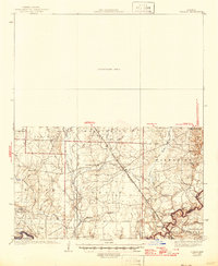
1937 Map of Ingalls
USGS Topo · Published 1946About this map
Ouachita River bottomlands and the ridges of southern Bradley County define this landscape as it appeared during the mid-1930s. The Chicago Rock Island and Pacific railroad serves as the primary corridor through the central terrain, connecting the settlements of Vick and Marsden. Near the river, industrial and timber footprints are evident at Bogalusa Camp and along the various ridges like Sand Ridge and Garrett Ridge.
Find a feature on this map
52 named features on this map. Tap any name to fly to it.
Don’t see what you’re looking for? This feature index may not catch every label — zoom into the map to look around manually.
Map Details
Editions of this 1937 Ingalls Map
3 editions found
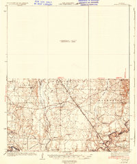
Other maps of this area

1933 · Strong
USGS Topo · 1:62,500

1934 · Ingalls
USGS Topo · 1:48,000

1934 · Felsenthal
USGS Topo · 1:62,500

1934 · Moro Bay
USGS Topo · 1:62,500

1937 · Strong
USGS Topo · 1:62,500

1937 · Felsenthal
USGS Topo · 1:62,500

1937 · Ingalls
USGS Topo · 1:62,500

1938 · Felsenthal
USGS Topo · 1:62,500

1938 · Moro Bay
USGS Topo · 1:62,500

1939 · Felsenthal
USGS Topo · 1:62,500