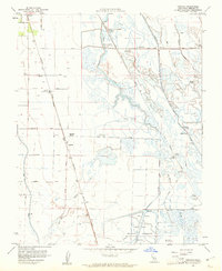
1960 Map of Ingomar
USGS Topo · Published 1961About this map
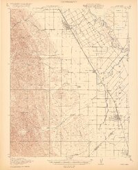
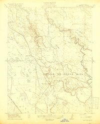
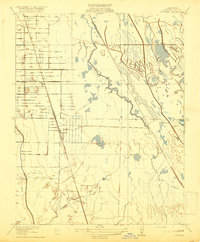
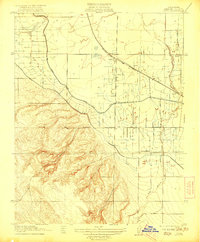
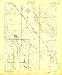
Southern Pacific railroad tracks form the spine of this agricultural landscape in the San Joaquin Valley, connecting the town of Gustine and the Ingomar Ranch settlement. The region is defined by a complex hydraulic network designed to manage seasonal water, including the San Luis Holding Reservoir, the San Luis Wasteway, and the San Luis Spillway. While farming dominates the western parcels along Pfizer Road and Husman Road, the eastern marshlands near Mud Slough and Los Banos Creek are home to a remarkable density of private sporting clubs, such as the Cottonwood Gun Club, Hollister Gun Club, and Triangle Gun Club. The presence of the Old Santa Fe Grade and numerous Duck Ponds highlights the dual identity of the land as both a reclaimed industrial waterway and a preserved habitat for migratory waterfowl.
Find a feature on this map
44 named features on this map. Tap any name to fly to it.
Don’t see what you’re looking for? This feature index may not catch every label — zoom into the map to look around manually.
Map Details
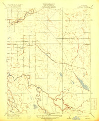
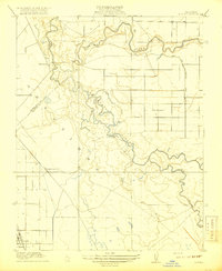
Editions of this 1960 Ingomar Map
2 editions found

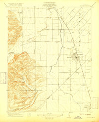
Other maps of this area
1917 · Newman
USGS Topo · 1:31,680
1918 · Stevinson
USGS Topo · 1:31,680
1918 · Gustine
USGS Topo · 1:31,680
1919 · Orestimba
USGS Topo · 1:62,500
1919 · San Luis Ranch
USGS Topo · 1:31,680
1919 · Ingomar
USGS Topo · 1:31,680

1920 · Pacheco Pass
USGS Topo · 1:62,500
1921 · Volta
USGS Topo · 1:31,680
1921 · Los Banos
USGS Topo · 1:31,680
1922 · San Luis Creek
USGS Topo · 1:31,680