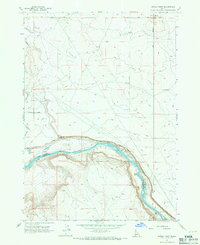
1957 Map of Initial Point
USGS Topo · Published 1971About this map
Initial Point serves as the geographic anchor for this 1950s survey, marking the intersection of the Boise Base Line and the Boise Meridian. This specific volcanic butte defined the public land surveys for most of Idaho, making it a critical landmark for property history and early western mapping. The landscape transitions from the arid upland survey point down to the canyon floor carved by the Snake River, which forms the border between Ada and Owyhee counties.
Find a feature on this map
17 named features on this map. Tap any name to fly to it.
Don’t see what you’re looking for? This feature index may not catch every label — zoom into the map to look around manually.
Map Details
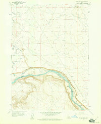
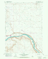
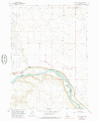
Editions of this 1957 Initial Point Map
4 editions found
Other maps of this area

1892 · Bisuka
USGS Topo · 1:125,000

1892 · Silver City
USGS Topo · 1:125,000

1894 · Bisuka
USGS Topo · 1:125,000

1894 · Silver City
USGS Topo · 1:125,000

1898 · Silver City
USGS Topo · 1:125,000

1947 · Wild Horse Butte
USGS Topo · 1:24,000

1948 · Wild Horse Butte
USGS Topo · 1:24,000

1948 · Sinker Butte
USGS Topo · 1:24,000

1949 · Sinker Butte
USGS Topo · 1:24,000

1949 · Oreana
USGS Topo · 1:62,500