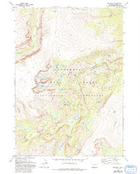
1968 Map of Ink Wells
USGS Topo · Published 1993About this map
Arrow Mountain and Horse Ridge define the high-altitude landscape of this 1968 survey of the Wind River Range within the Shoshone National Forest. The map detail reveals an intricate alpine hydrological system, including Bomber Lake, Florence Lake, and the series of glacial-fed waters such as Double Lake and Star Lake. Long-established routes like the Glacier Trail and Dinwoody Trail provide the primary access through the Fitzpatrick Wilderness, highlighting the area's significance for early backcountry navigation and recreation. While largely devoid of permanent settlements, the presence of the Williamson Corrals in the north suggests a history of high-country livestock management. The terrain shifts from the broad expanses of Goat Flat to the sheltered pockets of Shasta Meadows, providing a clear picture of the varied topography that defined this section of Fremont County in the late 1960s.
Find a feature on this map
31 named features on this map. Tap any name to fly to it.
Don’t see what you’re looking for? This feature index may not catch every label — zoom into the map to look around manually.
Map Details
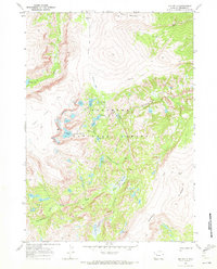
Editions of this 1968 Ink Wells Map
4 editions found
Other maps of this area

1909 · Fremont Peak
USGS Topo · 1:125,000

1952 · Hays Park
USGS Topo · 1:24,000

1952 · Bob Lakes
USGS Topo · 1:24,000

1952 · Blue Holes
USGS Topo · 1:24,000

1955 · Thermopolis
USGS Topo · 1:250,000

1958 · Thermopolis
USGS Topo · 1:250,000

1962 · Thermopolis
USGS Topo · 1:250,000
1968 · Torrey Lake
USGS Topo · 1:24,000
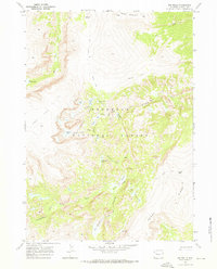
1968 · Ink Wells
USGS Topo · 1:24,000
1968 · Simpson Lake
USGS Topo · 1:24,000