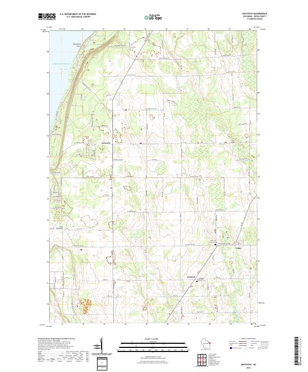
2022 Map of Institute
USGS Topo · Published 2022About this map
Monument Point and the steep elevation of Windsong Bluff define the western shoreline of the Door Peninsula along Green Bay. Moving inland, the landscape of eastern Door County is characterized by a network of drainage systems including Geisel Creek, Logan Cr, and Lilly Bay Cr, which meander through the rural acreage. The small crossroads communities of Carlsville, Valmy, and Institute serve as local anchors, each tied to the agricultural and residential life of the region. Local genealogy and history are well-preserved at the Saint John Lutheran Cem and Saint Peter and Paul Catholic Cem, located near the intersection of several county roads. The mapping of Monument Bluff Pass highlights the distinct geological shelf that separates the waters of Lake Michigan from the interior highlands, illustrating the classic topography of this Wisconsin peninsula.
Find a feature on this map
83 named features on this map. Tap any name to fly to it.
Don’t see what you’re looking for? This feature index may not catch every label — zoom into the map to look around manually.
Map Details
Editions of this 2022 Institute Map
This is the sole edition of this map. No revisions or reprints were ever made.
Other maps of this area

1954 · Escanaba
USGS Topo · 1:250,000

1954 · Manitowoc
USGS Topo · 1:250,000

1957 · Escanaba
USGS Topo · 1:250,000

1958 · Escanaba
USGS Topo · 1:250,000

1958 · Manitowoc
USGS Topo · 1:250,000

1960 · Sturgeon Bay
USGS Topo · 1:62,500

1960 · Jacksonport
USGS Topo · 1:62,500

1960 · Sister Bay
USGS Topo · 1:62,500

1961 · Chambers Island
USGS Topo · 1:62,500

1981 · Sturgeon Bay West
USGS Topo · 1:24,000