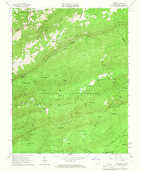
1965 Map of Interior
USGS Topo · Published 1966About this map
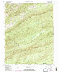
Peters Mountain forms a dramatic diagonal spine across this mid-1960s survey, marking the jagged boundary between West Virginia's Monroe County and Virginia's Giles County. This high-altitude landscape is largely contained within the Jefferson National Forest, where a network of trails and primitive routes connects remote sites like the Stony Creek Lookout Tower and the University of Virginia Biological Station. Small mountain settlements and family landmarks are concentrated in the narrow valleys, particularly near Interior and Kire.
Find a feature on this map
61 named features on this map. Tap any name to fly to it.
Don’t see what you’re looking for? This feature index may not catch every label — zoom into the map to look around manually.
Map Details
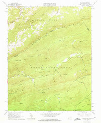
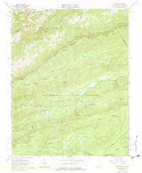
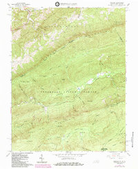
Editions of this 1965 Interior Map
5 editions found
Other maps of this area

1887 · Hinton
USGS Topo · 1:125,000

1887 · Lewisburg
USGS Topo · 1:125,000

1890 · Dublin
USGS Topo · 1:125,000

1890 · Christiansburg
USGS Topo · 1:125,000

1891 · Lewisburg
USGS Topo · 1:125,000

1891 · Dublin
USGS Topo · 1:125,000

1892 · Hinton
USGS Topo · 1:125,000

1921 · Alderson
USGS Topo · 1:48,000

1921 · Ronceverte
USGS Topo · 1:48,000

1923 · Ronceverte
USGS Topo · 1:62,500