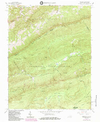
1965 Map of Interior
USGS Topo · Published 1984About this map
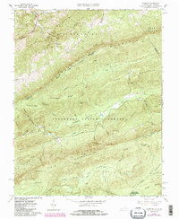
Jefferson National Forest dominates this highland landscape along the border of Virginia and West Virginia, where the high ridges of Peters Mountain and Potts Mountain run parallel through the terrain. The map documents a significant intersection of academic research and natural preservation at the Mountain Lake Biological Station University of Virginia, located near the shores of Salt Pond. This mid-century survey captures the region just as the Appalachian National Scenic Trail was formalizing its route across these summits, passing near landmarks like the Stony Creek Lookout Tower and Wind Rock. Small, dispersed settlements like Interior and Kire are visible along Stony Creek, while local genealogy is preserved at the Ballard-Harvey Cem and Fortner Ch, reflecting the deep-rooted family history of these remote mountain hollows.
Find a feature on this map
60 named features on this map. Tap any name to fly to it.
Don’t see what you’re looking for? This feature index may not catch every label — zoom into the map to look around manually.
Map Details
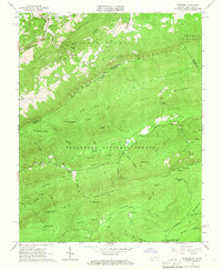
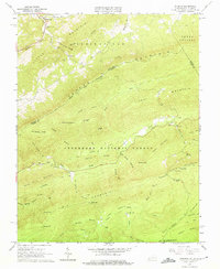
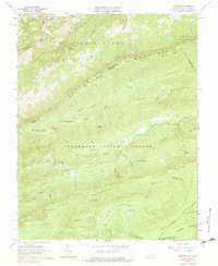
Editions of this 1965 Interior Map
5 editions found
Other maps of this area

1887 · Hinton
USGS Topo · 1:125,000

1887 · Lewisburg
USGS Topo · 1:125,000

1890 · Dublin
USGS Topo · 1:125,000

1890 · Christiansburg
USGS Topo · 1:125,000

1891 · Lewisburg
USGS Topo · 1:125,000

1891 · Dublin
USGS Topo · 1:125,000

1892 · Hinton
USGS Topo · 1:125,000

1921 · Alderson
USGS Topo · 1:48,000

1921 · Ronceverte
USGS Topo · 1:48,000

1923 · Ronceverte
USGS Topo · 1:62,500