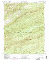
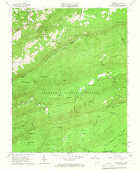
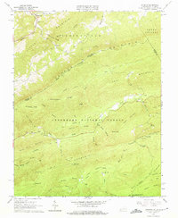
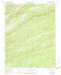
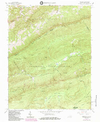
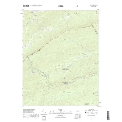
1965 Map of Interior
USGS Topo · Published 1984About this map
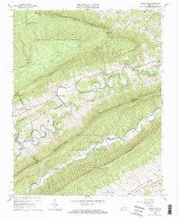
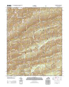
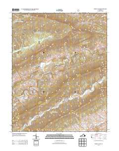
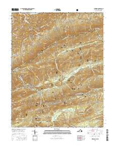
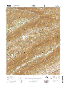
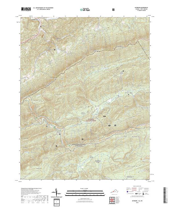
Peters Mountain and Potts Mountain dominate this section of the Jefferson National Forest, where the border between Virginia and West Virginia follows the high ridges. Small settlements like Interior and Kire are tucked into the valley along Stony Creek, which is fed by numerous hollows and branches such as Nettle Hollow and Dismal Branch. The high-altitude landscape is characterized by prominent peaks like Minie Ball Hill and Wind Rock, along with the Stony Creek Lookout Tower situated atop the ridge.
Find a feature on this map
61 named features on this map. Tap any name to fly to it.
Don’t see what you’re looking for? This feature index may not catch every label — zoom into the map to look around manually.
Map Details
Editions of this 1965 Interior Map
5 editions found
Historical Maps of Kire Through Time
12 maps found
1965 Interior
Giles County, VA
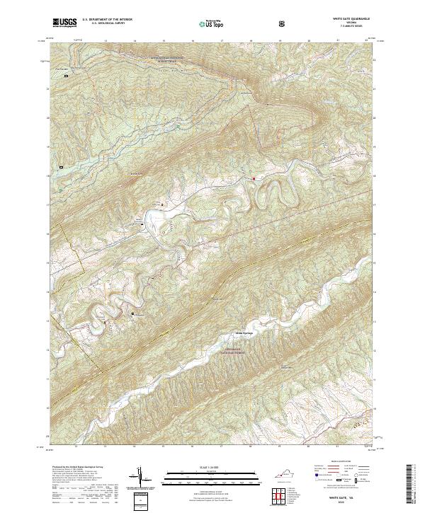
1965 White Gate
Giles County, VA
2011 Interior
Giles County, VA
2011 White Gate
Giles County, VA
2013 Interior
Giles County, VA
2013 White Gate
Giles County, VA
2016 Interior
Giles County, VA
2016 White Gate
Giles County, VA
2019 Interior
Giles County, VA
2019 White Gate
Giles County, VA
2022 Interior
Giles County, VA
2022 White Gate
Giles County, VA