Loading...
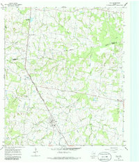
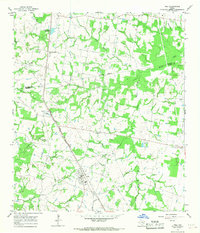
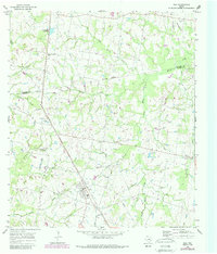
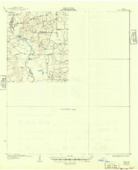
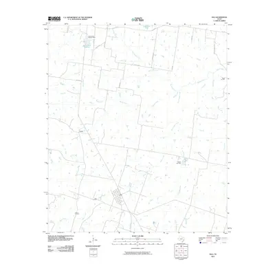
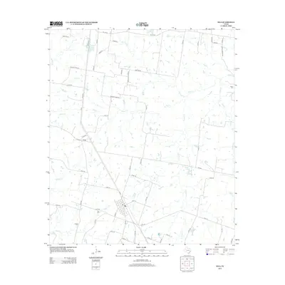
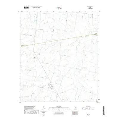
Loading map...1965 Map of Iola
USGS Topo · Published 1985About this map
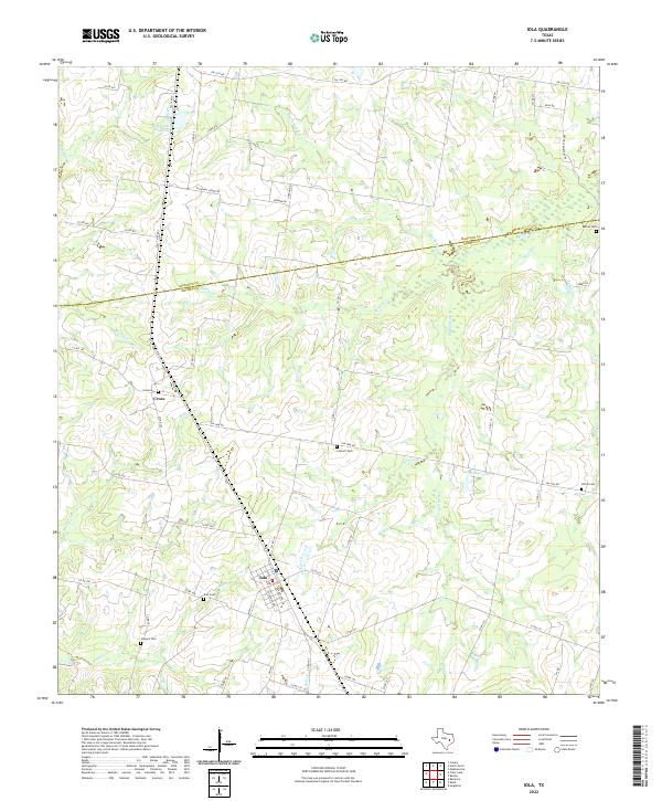
The town of Iola serves as the central hub of this mid-1960s landscape, situated at the junction of local roads and the Chicago Rock Island And Pacific railroad. The geography is defined by a dense network of waterways, including Bedias Creek and its many tributaries like Carter Creek and Neville Creek, which carve through the terrain between the Madison and Grimes county lines.
Find a feature on this map
29 named features on this map. Tap any name to fly to it.
Don’t see what you’re looking for? This feature index may not catch every label — zoom into the map to look around manually.
Map Details
Date Portrayed1965
Date Published1985
PublisherU.S. Geological Survey
Map TypeTopographic
Scale1:24,000
Physical Dimensions23 x 27 inches
Editions of this 1965 Iola Map
Historical Maps of Cross Through Time
7 maps found

Featured Locations
Source Details
SourceU.S. Geological Survey
CopyrightPublic Domain