
1925 Map of Iola No 2
USGS Topo · Published 1925About this map
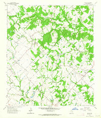
The Navasota River valley defines this landscape where the borders of Madison, Leon, Robertson, and Brazos counties converge. In this 1925 survey, a series of oxbow lakes including San Antonio Lake, Mud Lake, and Duck Lake trace the river's winding course through the central bottomlands. The upland areas are defined by a network of rural community centers, with family-named sites and institutions like Burns Store and Bundy School providing vital social anchors for a dispersed farming population.
Find a feature on this map
24 named features on this map. Tap any name to fly to it.
Don’t see what you’re looking for? This feature index may not catch every label — zoom into the map to look around manually.
Map Details
Editions of this 1925 Iola No 2 Map
This is the sole edition of this map. No revisions or reprints were ever made.
Other maps of this area

1925 · Marquez No. 4
USGS Topo · 1:48,000

1927 · Marquez
USGS Topo · 1:62,500

1930 · Marquez
USGS Topo · 1:62,500

1931 · Iola
USGS Topo · 1:62,500

1954 · Waco
USGS Topo · 1:250,000

1954 · Austin
USGS Topo · 1:250,000

1955 · Waco
USGS Topo · 1:250,000

1959 · Clear Lake
USGS Topo · 1:24,000

1962 · Edge
USGS Topo · 1:24,000
1963 · Kurten
USGS Topo · 1:24,000