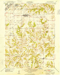
1948 Map of Ipava
USGS Topo · Published 1948About this map
The Camp Ellis Military Reservation dominates the northwest corner of this Fulton County landscape, reflecting the military's significant footprint in the area shortly after the war. The town of Ipava serves as a central hub, where the Chicago Burlington and Quincy railroad cuts a diagonal path through the prairie. This corridor supported a network of rural schoolhouses, including the Etnire Sch and Lacey Sch, which were essential to the dispersed farming communities in the Vermont and Pleasant townships.
Find a feature on this map
32 named features on this map. Tap any name to fly to it.
Don’t see what you’re looking for? This feature index may not catch every label — zoom into the map to look around manually.
Map Details
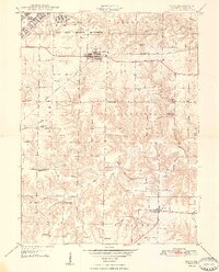
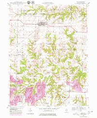
Editions of this 1948 Ipava Map
3 editions found
Other maps of this area

1918 · Vermont
USGS Topo · 1:62,500

1921 · Vermont
USGS Topo · 1:62,500

1925 · Havana
USGS Topo · 1:62,500

1926 · Beardstown
USGS Topo · 1:62,500

1930 · Chandlerville
USGS Topo · 1:62,500

1932 · Chandlerville
USGS Topo · 1:62,500

1944 · Beardstown
USGS Topo · 1:62,500

1947 · Lewistown
USGS Topo · 1:24,000

1947 · Vermont
USGS Topo · 1:24,000

1947 · Adair
USGS Topo · 1:24,000