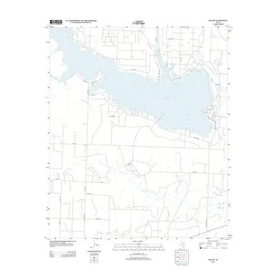
2012 Map of Ira SW
USGS Topo · Published 2012About this map
Lake J B Thomas dominates this West Texas landscape, where the Colorado River is impounded to form a large, branching reservoir across Howard County. The 2012 survey illustrates the irregular shoreline of the lake, defined by numerous inlets and points accessed by a network of rural routes like Sourdough Rd and Co RD-342. Away from the water, the terrain is shaped by the drainage of Willow Cr, which winds through open country toward the southeast corner of the map. Settlement is sparse, characterized by individual holdings such as Conrad Ranch and the small catchment at Dunn Lake. The road system is a mix of state-maintained corridors like Ranch Road 1205 and local county roads, including the named Guffee Rd, reflecting the ranching and resource-based infrastructure of the South Plains region during the early 21st century.
Find a feature on this map
33 named features on this map. Tap any name to fly to it.
Don’t see what you’re looking for? This feature index may not catch every label — zoom into the map to look around manually.
Map Details
Editions of this 2012 Ira SW Map
This is the sole edition of this map. No revisions or reprints were ever made.
Other maps of this area
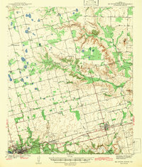
1942 · Big Spring North
USGS Topo · 1:62,500
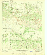
1951 · Ira SW
USGS Topo · 1:24,000
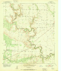
1951 · Ira
USGS Topo · 1:24,000
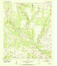
1951 · Ira NW
USGS Topo · 1:24,000
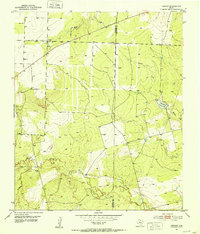
1951 · Vincent
USGS Topo · 1:24,000
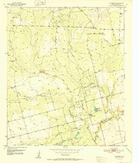
1952 · Cuthbert
USGS Topo · 1:24,000
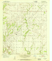
1952 · Ira NE
USGS Topo · 1:24,000
1954 · Big Spring
USGS Topo · 1:250,000
1954 · Big Spring North NE
USGS Topo · 1:24,000
1958 · Big Spring
USGS Topo · 1:250,000