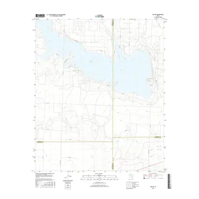
2016 Map of Ira SW
USGS Topo · Published 2016About this map
Lake J B Thomas dominates this West Texas landscape, where the Colorado River is impounded at the intersection of Borden, Scurry, Howard, and Mitchell counties. This 2016 survey illustrates the extensive road network serving the ranching and energy-producing lands surrounding the reservoir, including Sourdough Rd and Guffee Rd. The topography is defined by the winding drainages of Willow Cr as they feed into the primary basin. The map captures the interface between the sprawling water body and the rural infrastructure of the Permian Basin region, showing the transition from upland plains to the river breaks. To the southeast, Dunn Lake sits near the junction of FM 1298 and Ranch Rd 1298, marking a pocket of lower elevation amidst the ranchlands and county lines.
Find a feature on this map
32 named features on this map. Tap any name to fly to it.
Don’t see what you’re looking for? This feature index may not catch every label — zoom into the map to look around manually.
Map Details
Editions of this 2016 Ira SW Map
This is the sole edition of this map. No revisions or reprints were ever made.
Other maps of this area
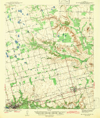
1942 · Big Spring North
USGS Topo · 1:62,500
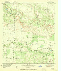
1951 · Ira SW
USGS Topo · 1:24,000
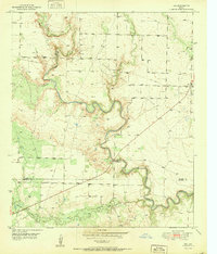
1951 · Ira
USGS Topo · 1:24,000
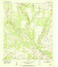
1951 · Ira NW
USGS Topo · 1:24,000
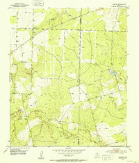
1951 · Vincent
USGS Topo · 1:24,000
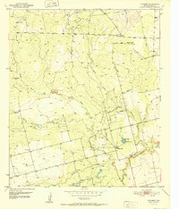
1952 · Cuthbert
USGS Topo · 1:24,000
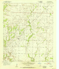
1952 · Ira NE
USGS Topo · 1:24,000
1954 · Big Spring
USGS Topo · 1:250,000
1954 · Big Spring North NE
USGS Topo · 1:24,000
1958 · Big Spring
USGS Topo · 1:250,000