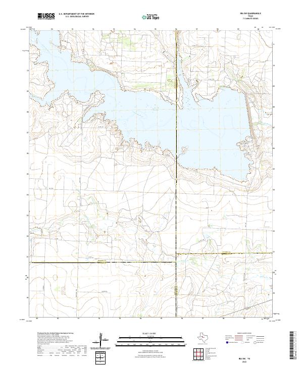
2022 Map of Ira SW
USGS Topo · Published 2022About this map
Lake J B Thomas dominates the northern landscape of this West Texas region, where the Colorado River is impounded at the meeting point of several county lines. This 2022 survey documents a complex of rural roads and ranching infrastructure at the borders of Borden, Scurry, Howard, and Mitchell counties. The shoreline of the reservoir is intricately carved by inlets like Wildcat Creek and Willow Cr, revealing the modern hydrology of the upper Colorado basin.
Find a feature on this map
36 named features on this map. Tap any name to fly to it.
Don’t see what you’re looking for? This feature index may not catch every label — zoom into the map to look around manually.
Map Details
Editions of this 2022 Ira SW Map
This is the sole edition of this map. No revisions or reprints were ever made.
Other maps of this area

1942 · Big Spring North
USGS Topo · 1:62,500

1951 · Ira SW
USGS Topo · 1:24,000

1951 · Ira
USGS Topo · 1:24,000

1951 · Ira NW
USGS Topo · 1:24,000

1951 · Vincent
USGS Topo · 1:24,000

1952 · Cuthbert
USGS Topo · 1:24,000

1952 · Ira NE
USGS Topo · 1:24,000

1954 · Big Spring
USGS Topo · 1:250,000

1954 · Big Spring North NE
USGS Topo · 1:24,000

1958 · Big Spring
USGS Topo · 1:250,000