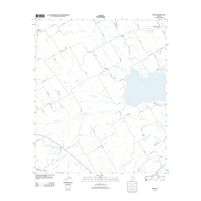
2013 Map of Irene
USGS Topo · Published 2013About this map
Navarro Mills Lake dominates the eastern landscape of this North Texas region, where the prairie begins to transition into more complex riparian networks. Small rural communities like Pelham and Emmett anchor the local geography, surrounded by a dense distribution of family and community burial grounds including Salem Cem, Graham Cem, and Pelham Cem. The terrain is defined by a series of branching waterways such as Richland Cr, Ash Cr, and White Rock Cr that feed toward the reservoir.
Find a feature on this map
76 named features on this map. Tap any name to fly to it.
Don’t see what you’re looking for? This feature index may not catch every label — zoom into the map to look around manually.
Map Details
Editions of this 2013 Irene Map
This is the sole edition of this map. No revisions or reprints were ever made.
Other maps of this area

1954 · Dallas
USGS Topo · 1:250,000

1954 · Waco
USGS Topo · 1:250,000

1955 · Waco
USGS Topo · 1:250,000
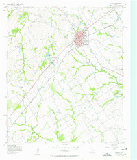
1956 · Hubbard
USGS Topo · 1:24,000
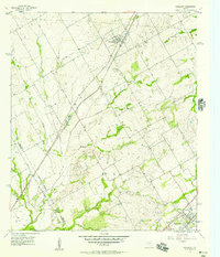
1956 · Penelope
USGS Topo · 1:24,000
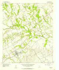
1956 · Dawson
USGS Topo · 1:24,000
1957 · Irene
USGS Topo · 1:24,000
1957 · Malone
USGS Topo · 1:24,000

1958 · Dallas
USGS Topo · 1:250,000
1965 · Coolidge
USGS Topo · 1:24,000