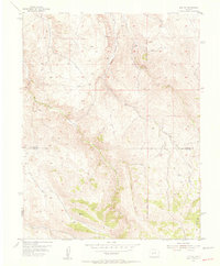
1954 Map of Iris NW
USGS Topo · Published 1955About this map
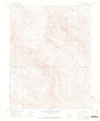
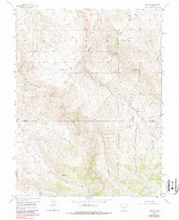
The boundary between Gunnison Co and Saguache Co cuts through this high-altitude landscape, where the New Mexico Principal Meridian serves as a primary surveying reference. The drainage pattern is dominated by Gold Basin Creek and Beaver Creek, with numerous smaller tributaries like Stubbs Gulch and Long Gulch etching deep into the terrain. A notable human element in this remote area is the isolated Landing Field (Emergency) located near the eastern edge of the survey, likely a critical waypoint for mid-century aviation crossing the mountain ranges.
Find a feature on this map
11 named features on this map. Tap any name to fly to it.
Don’t see what you’re looking for? This feature index may not catch every label — zoom into the map to look around manually.
Map Details
Editions of this 1954 Iris NW Map
7 editions found
Other maps of this area

1908 · Uncompahgre
USGS Topo · 1:125,000

1911 · Uncompahgre
USGS Topo · 1:125,000

1954 · Iris NW
USGS Topo · 1:24,000

1954 · Iola
USGS Topo · 1:24,000

1954 · Mc Intosh Mountain
USGS Topo · 1:24,000

1954 · Gunnison
USGS Topo · 1:24,000

1956 · Montrose
USGS Topo · 1:250,000

1959 · Montrose
USGS Topo · 1:250,000

1960 · Montrose
USGS Topo · 1:250,000

1962 · Iris
USGS Topo · 1:24,000